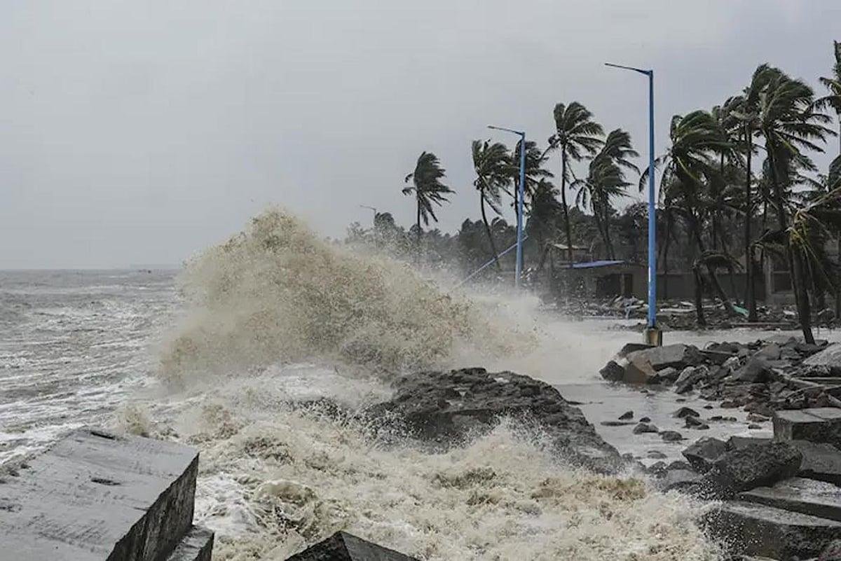
Bay of Bengal Weather Today: Weather conditions around the Bay of Bengal remain important on September 24, 2026, as a deep depression that developed over the west-central and adjoining northwest Bay of Bengal has moved toward the North Andhra Pradesh and South Odisha coast.
According to the India Meteorological Department (IMD), the system was located close to the North Andhra Pradesh coast near Kalingapatnam and was moving west-northwestwards. The system was expected to cross the coast between Visakhapatnam and Gopalpur.
The weather system has increased the possibility of heavy to very heavy rainfall, thunderstorms and strong winds across parts of Odisha and Andhra Pradesh.


Bay of Bengal Weather Today: Latest Update
The main weather system over the Bay of Bengal is a deep depression, rather than a named tropical cyclone. IMD bulletins indicated that the system was expected to cross the North Andhra Pradesh–South Odisha coast during the night of September 23 and then gradually weaken.
Earlier forecasts had raised questions about whether the system could strengthen into a cyclone. However, IMD did not forecast cyclonic-storm intensification in its cited updates.
The system is particularly important because it can produce significant rainfall even without becoming a cyclone.
Heavy Rainfall Alert in Odisha and Andhra Pradesh
The biggest weather impact is expected across parts of Odisha and Andhra Pradesh.
Several coastal and southern Odisha districts have been warned about heavy to extremely heavy rainfall. The IMD-related reports also highlighted the possibility of strong winds along and off the affected coastline.
Parts of Andhra Pradesh, including areas around Kakinada, Konaseema, East Godavari, West Godavari, Eluru and Krishna, were under warnings for extremely heavy rainfall around September 23–24.
Residents in areas receiving heavy rainfall should remain alert for temporary waterlogging, local flooding and disruptions to transport.
Strong Winds Along the Coast
Another important part of today’s Bay of Bengal weather update is wind activity.
The IMD had forecast squally winds of around 50–60 km/h, with gusts reaching up to 70 km/h along and off parts of the North Andhra Pradesh coast and nearby areas during the system’s approach.
Such conditions can be dangerous for fishing boats and small vessels. Fishermen have therefore been advised in weather warnings not to venture into affected sea areas.
What Happens to the Depression After Landfall?
Once the deep depression moves inland, its strength is expected to decrease gradually.
A weather analysis published on September 23 said the system was expected to weaken into a depression by the evening of September 24 and potentially remain a depression into September 25.
Even after weakening, the system can continue to produce rainfall along its path.
This means that the weather effects may not be limited to the immediate coastline. Rainfall can extend farther inland as the system travels west-northwestwards.
West Bengal Weather Impact
The Bay of Bengal system has also influenced weather conditions in West Bengal.
The India Meteorological Department’s Kolkata weather information showed generally cloudy conditions with rain or thundershowers for September 24, along with a warning for heavy rainfall and thunderstorms accompanied by lightning and gusty winds.
Earlier warnings also covered several districts of West Bengal, with thunderstorms, lightning and rainfall possible in different areas.
Therefore, residents should monitor local forecasts rather than relying only on the overall Bay of Bengal weather situation.
Is There a Cyclone in the Bay of Bengal Today?
One of the most searched questions today is: “Is there a cyclone in the Bay of Bengal?”
The important distinction is between a deep depression and a cyclonic storm.
The latest cited IMD information described the system as a deep depression and did not forecast it to become a cyclonic storm at that stage.
Therefore, headlines referring to a possible cyclone should be checked against the latest IMD bulletin because the intensity and track of weather systems can change quickly.
Bay of Bengal Weather and Monsoon
The Bay of Bengal continues to play an important role in India’s September rainfall pattern.
Weather systems developing over the Bay can transport moisture toward eastern, central and northern parts of India. As a result, a depression near the coast can affect rainfall well beyond the immediate coastal region.
The current system is expected to move inland after crossing the coast, which means rainfall may continue along its track even as the system weakens.
Safety Tips During Heavy Rain and Strong Winds
People living in affected areas should follow official weather advisories.
During thunderstorms and strong winds:
- Avoid going into the sea or coastal waters.
- Stay indoors during lightning activity.
- Avoid standing under isolated trees.
- Stay away from flooded roads and streams.
- Keep phones and emergency power banks charged.
- Follow local administration and IMD warnings.
- Avoid unnecessary travel during extremely heavy rainfall.
- Do not attempt to cross flooded roads on foot or by vehicle.
Bay of Bengal Weather Today: Key Points
| Weather Update | Latest Information |
|---|---|
| Weather system | Deep Depression |
| Region | West-central & Northwest Bay of Bengal |
| Main affected areas | Odisha and Andhra Pradesh |
| Movement | West-northwestward |
| Rainfall | Heavy to extremely heavy in some areas |
| Wind | Strong/gusty winds near affected coast |
| Cyclone status | IMD updates cited here did not indicate cyclonic-storm intensification |
| Expected trend | Gradual weakening after landfall |
Conclusion
The Bay of Bengal Weather Today, September 24, 2026, remains closely watched because of the deep depression that has moved toward the North Andhra Pradesh and South Odisha coast.
The system has the potential to produce heavy to extremely heavy rainfall, thunderstorms and strong winds across affected coastal and inland areas. IMD information indicates that the system is expected to weaken after moving inland, although rainfall can continue along its track.
People in Odisha, Andhra Pradesh, West Bengal and other areas affected by the system should keep checking the latest IMD advisories for location-specific warnings.
About the Author